Case Study – Fighting Property Tax Increases
Background
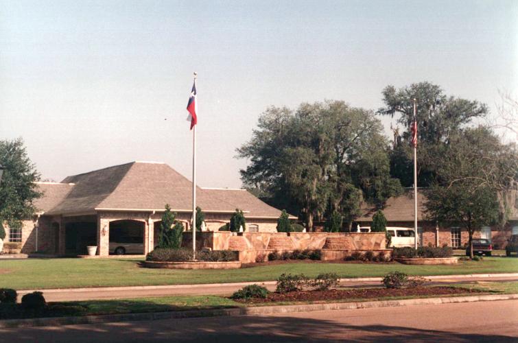
In 1972, through its subsidiary company Tenneco Realty Development Corporation, Tenneco Energy built a 1,200-acre private residential community with a Professional Golf Association (PGA) rated 18-hole golf course with clubhouse, Olympic sized swimming pool and a 300-acre lake. The clubhouse featured lounges, dining rooms, a snack bar and party rooms. Once called the “River Oaks of Brazoria County”, Columbia Lakes was once the exclusive enclave of the rich that retreated from Houston to the country on weekends.
Fast forward to 2023. The number of golfers in America who play at least eight rounds per year has decreased by 3 to 4.5% yearly since 2006. What was old was old and golfers still playing flocked to shiny and newer courses; thus, abandoning what was once a jewel in the PGA’s crown. Due to fall of golf’s popularity, and after going through multiple owners, Heritage Oaks at Columbia Lakes closed for business and giving the owners in the community first right of refusal to purchase the course as a green space. The owners in the community, via its homeowners association, jumped at the chance to purchase the former golf course to protect the home values.
Upon closure of the golf course, and annexation by the Varner Creek Utility District of the surrounding levees, real estate classifications changed the same year as a record increase in Brazoria County’s property taxes values.
Problem – Incorrect Property Classifications
Historically, in the Brazoria County Appraisal District’s records, Columbia Lakes contained three types of property: S1 – Primary Homesite; S7 – Lakefront Lot; and S8 – Golf Course Lots. In addition to the misclassification, homes that were constructed in the past 20 years also were priced 13% higher than homes originally built by the Tenneco developers.
Lakefront Homes
Due to the annexation of all surrounding levees by the local MUD, the homes situated next to water, but separated by the levee, by law were no longer able to be classified as lakefront property. Additionally, these homes never had a scenic lakefront view.
Golf Course Lots
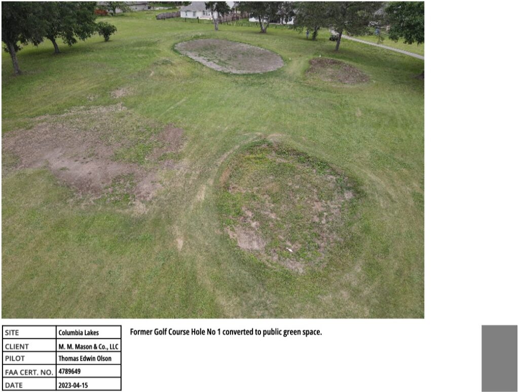
Homes situated next to the former golf course were no longer able to be classified as a “golf-course lots”. Since this amenity no longer existed, property taxes needed to be adjusted to the same rate as all other “primary site” homes, not situated on the golf course.
Solution
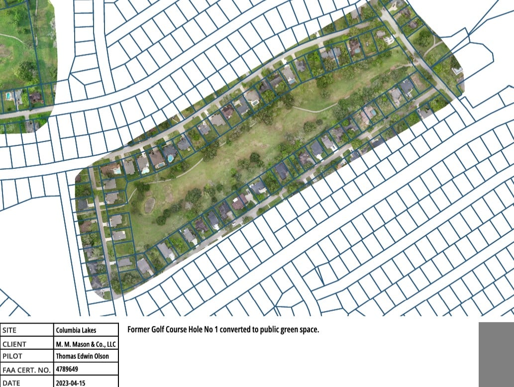
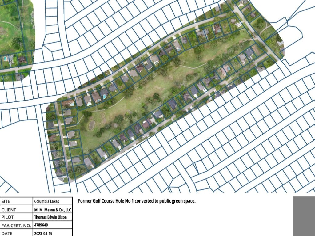
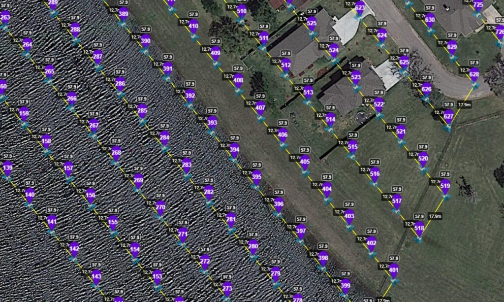
The owners in the community engaged Lone Star ISR’s owner, Tom Olson, working with M. M. Mason and Co, LLC to perform aerial mapping of the former golf course and levee to demonstrate the loss of the golf course and the lake as amenities of Columbia Lakes.
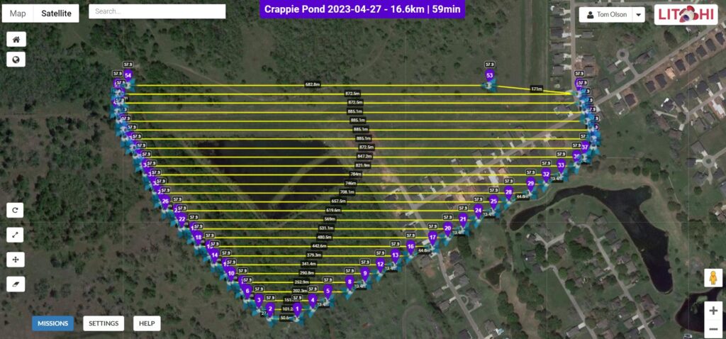
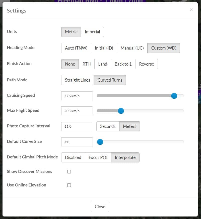
Utilizing open source mapping and cloud -based flight planning tools like Litchi, Lone Star ISR’s pilot collected photogrammetry images and processed them via the WebODM Lightning Cloud to produce orthomosaic images in the GeoTIFF format. Lone Star ISR merged Brazoria County’s ESRI geographic shapefile data, Google Earth imagery, with Lone Star ISR’s GeoTIFF imagery into QGIS Desktop to produce reports demonstrating the loss of amenities in the community.
In addition to the photogrammetry services, Lone Star ISR also created ColumbiaLakesTaxes.com for the community to take delivery of the compiled reports produced through QGIS Desktop. These reports were used by individual owners that conducted their own tax protest and by Mike Mason, owner of M. M. Mason and Co LLC who largely represented most of the owners protesting the 2023 tax valuation before Brazoria County Appraisal District’s Appraisal Review Board.
Results
While protests are still ongoing, the early trends show that Lone Star ISR’s efforts were effective in helping reducing taxable property values through the use of its aerial photogrammetry.
External Links
Golf Course
- Green Space, Former Golf Course Hole 01: Aerial Map and Photos (PDF)
- Green Space, Former Golf Course Hole 02: Aerial Map and Photos (PDF)
- Green Space, Former Golf Course Hole 03: Aerial Map and Photos (PDF)
- Green Space, Former Golf Course Hole 04: Aerial Map and Photos (PDF)
- Green Space, Former Golf Course Hole 05: Aerial Map and Photos (PDF)
- Green Space, Former Golf Course Hole 06: Aerial Map and Photos (PDF)
- Green Space, Former Golf Course Hole 07: Aerial Map and Photos (PDF)
- Green Space, Former Golf Course Hole 08: Aerial Map and Photos (PDF)
- Green Space, Former Golf Course Hole 09: Aerial Map and Photos (PDF)
- Green Space, Former Golf Course Hole 10: Aerial Map and Photos (PDF)
- Green Space, Former Golf Course Hole 11: Aerial Map and Photos (PDF)
- Green Space, Former Golf Course Hole 12: Aerial Map and Photos (PDF)
- Green Space, Former Golf Course Hole 13: Aerial Map and Photos (PDF)
- Green Space, Former Golf Course Hole 14: Aerial Map and Photos (PDF)
- Green Space, Former Golf Course Hole 15: Aerial Map and Photos (PDF)
- Green Space, Former Golf Course Hole 16: Aerial Map and Photos (PDF)
- Green Space, Former Golf Course Hole 17: Aerial Map and Photos (PDF)
- Green Space, Former Golf Course Hole 18: Aerial Map and Photos (PDF)
- Download All PDFs: ALL PDF Aerial Map and Photos (Zip File) (PDF)
- Download the Meeting Minutes for the Golf Course Purchase: Meeting Minutes (PDF)
Misclassified Lagoon/Ditch
- Drainage Ditch Between Mossy Meadow and Crestview: Aerial Map and Photos (PDF)
Misclassified Lakefront
- Home that are Misclassified as Lakefront on Twin Lakes: Aerial Map and Photos and Varner Creek Utility District Documents (PDF)
Misclassified Levee on Riverside
- Home that are Misclassified as Lagoon Fronting on Riverside: Aerial Map and Photos and Varner Creek Utility District Documents (PDF)
Orphaned Property on Ridgewood
- Homes with Part of the Land Orphaned on Ridgewood Section 1: Aerial Map and Photos and Varner Creek Utility District Documents (PDF)
- Homes with Part of the Land Orphaned on Ridgewood Section 2: Aerial Map and Photos and Varner Creek Utility District Documents (PDF)
- Homes with Part of the Land Orphaned on Ridgewood Section 3: Aerial Map and Photos and Varner Creek Utility District Documents (PDF)
- Download All PDFs: ALL PDF Aerial Map, Photos and Varner Creek Utility District Documents. (Zip File) (PDF)
Link to the Data
- Columbia Lakes Data from the Brazoria County Appraisal District:
Download the Spreadsheet in Microsoft Excel format. (Right click and Save As to your computer)
Link to the Directory of the spreadsheet on Google Drive that you can open and view a read only copy of the data (Click on link and browse to file)
